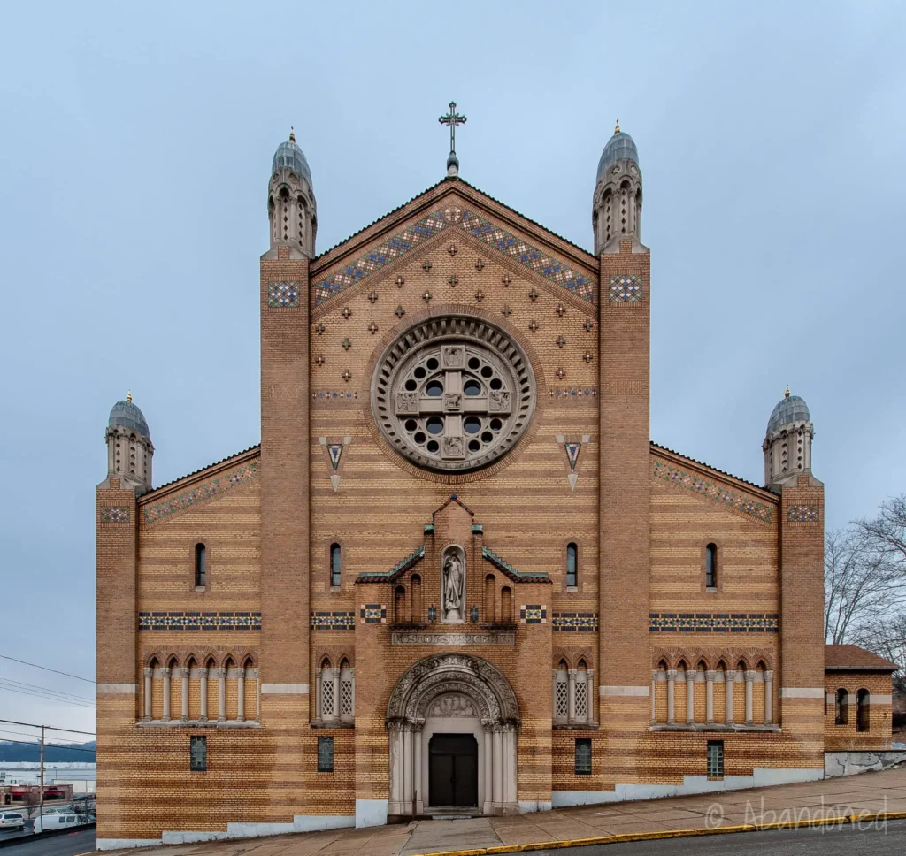
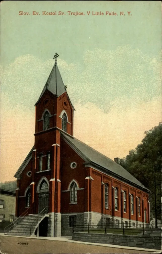
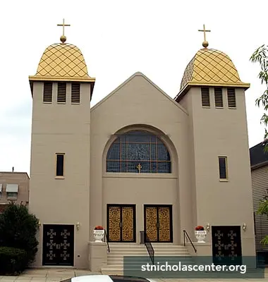
Slovak emigrants identified themselves in their new country primarily through their faith. It was the Slovak and Ruthenian churches that were the meeting places and community building that helped to maintain the Slovak and Ruthenian consciousness.


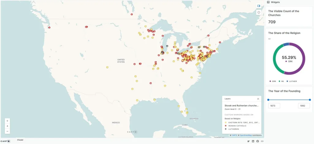
“Data throughout this interactive webmap were created using QGIS® and Carto® platform and are the intellectual property of authors and are used herein under license. Copyright ©Martin Javor. All rights reserved. For more information contact javorisko@gmail.com”.
For further using cite: Javor, M., Michalko, M. Slovak and Ruthenian Churches in North America from 1873 to 1992 [map]. 2024. “Interactive Map: 2022”. https://carto.com (generated March 11, 2024)
Gradually, Slovak and Ruthenian churches were established in most Slovak and Ruthenian communities, mostly along Slovak and Ruthenian associations. The interactive map of Slovak and Ruthenian churches traces Slovak and Ruthenian churches in North America from the 1880s to 1992. For each church, the year of founding, the founders, and the name of the first priest are shown.

Since it was not possible to find the year of establishment of some churches, we included the fictitious year of 1992 of establishment for the display in this map, the year 1992 is same as the source.

